

Island Overview
Truax Island Access is a 128-acre undeveloped Willamette Greenway site that encompasses an interesting variety of land uses and ownership adjacent to the mainstem Willamette and between the cities of Albany and Corvallis.
Truax Island is within the Upper Willamette River Floodplain Conservation Opportunity Area (COA 61, Oregon Conservation Strategy, 2016).
Project Location
The project occurs on the east side of the main stem Willamette River, RM 99.5.
It is bordered on the south side by Dead River Slough which flows into the Willamette River.
The Willamette River is the northern border of Truax Island.
ESA-listed Salmonids
The primary species restoration will benefit are Upper Willamette River steelhead trout (Oncorhynchus mykiss ) and Upper Willamette River Chinook salmon (Oncorhynchus tshawytscha), both listed as Threatened under the federal Endangered Species Act.
background
Truax Island became a Willamette Greenway in the 1970’s. Prior to this designation there was farming on most of the floodplain, and gravel extraction that began prior to 1954 by Morse Brothers Inc.
Knife River Corporation still owns a 26 acre gravel extraction site within Truax Island
Due to the Greenway designation, OPRD is required to support historic land uses while conserving and improving fish and wildlife habitat, as well as public recreational use.
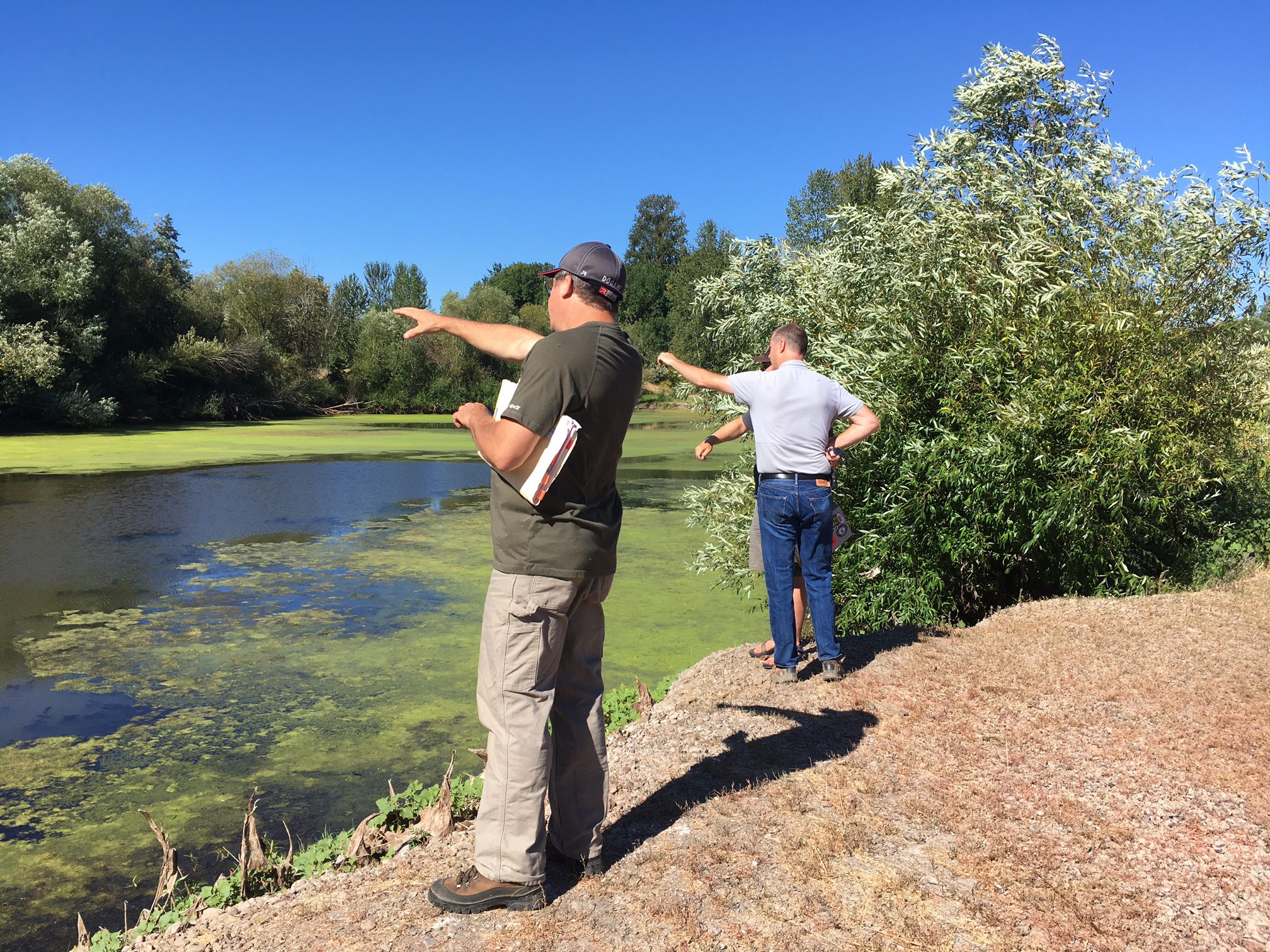
The best format for addressing these mixed uses and habitat goals is through a facilitated collaborative process engaging a team of stakeholders that bring expert advice from partner agencies and organizations and lessons learned from similar efforts in the region.
Truax Island Ecology
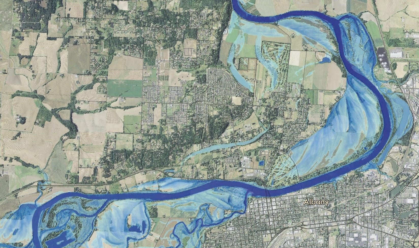
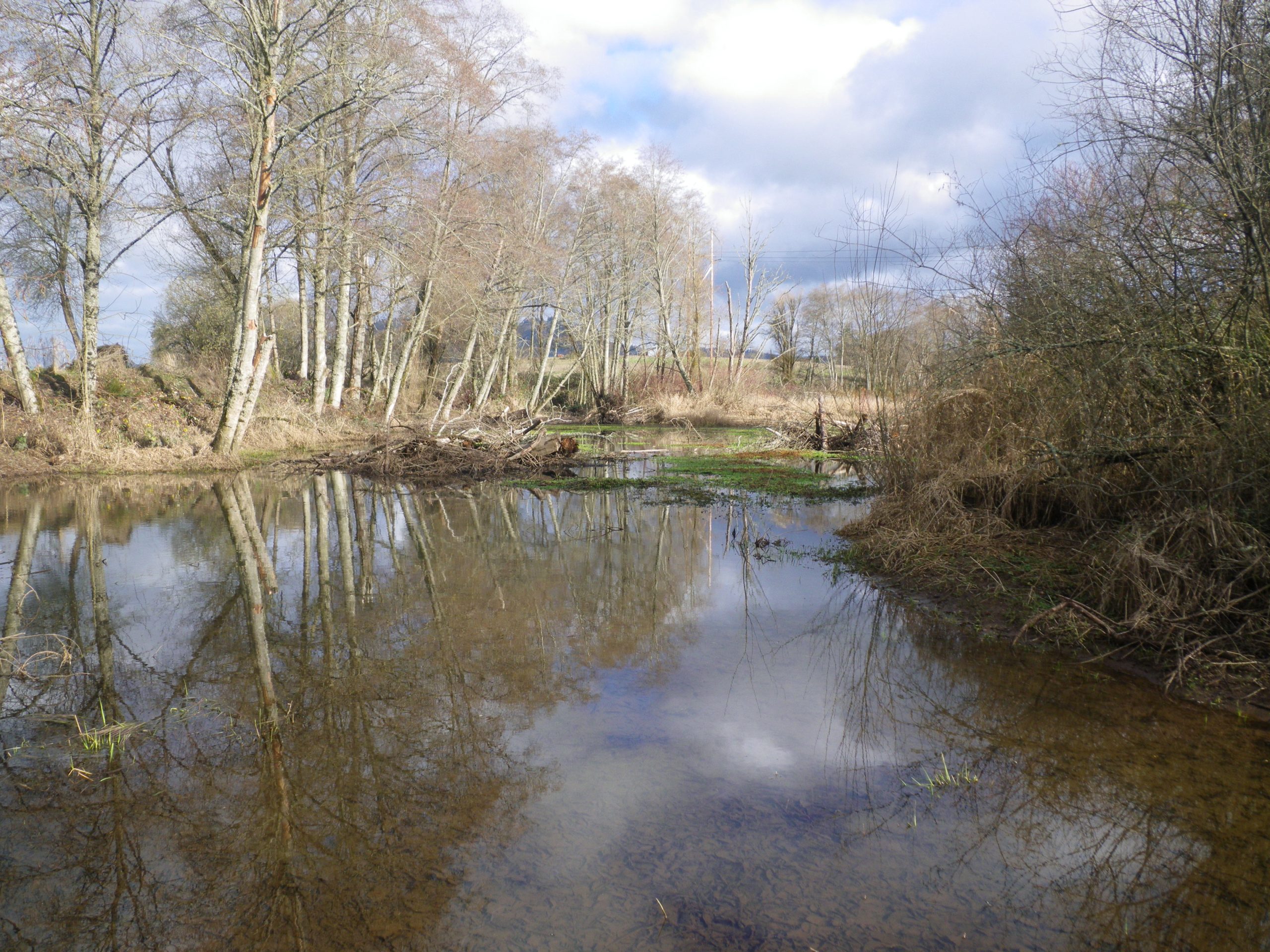
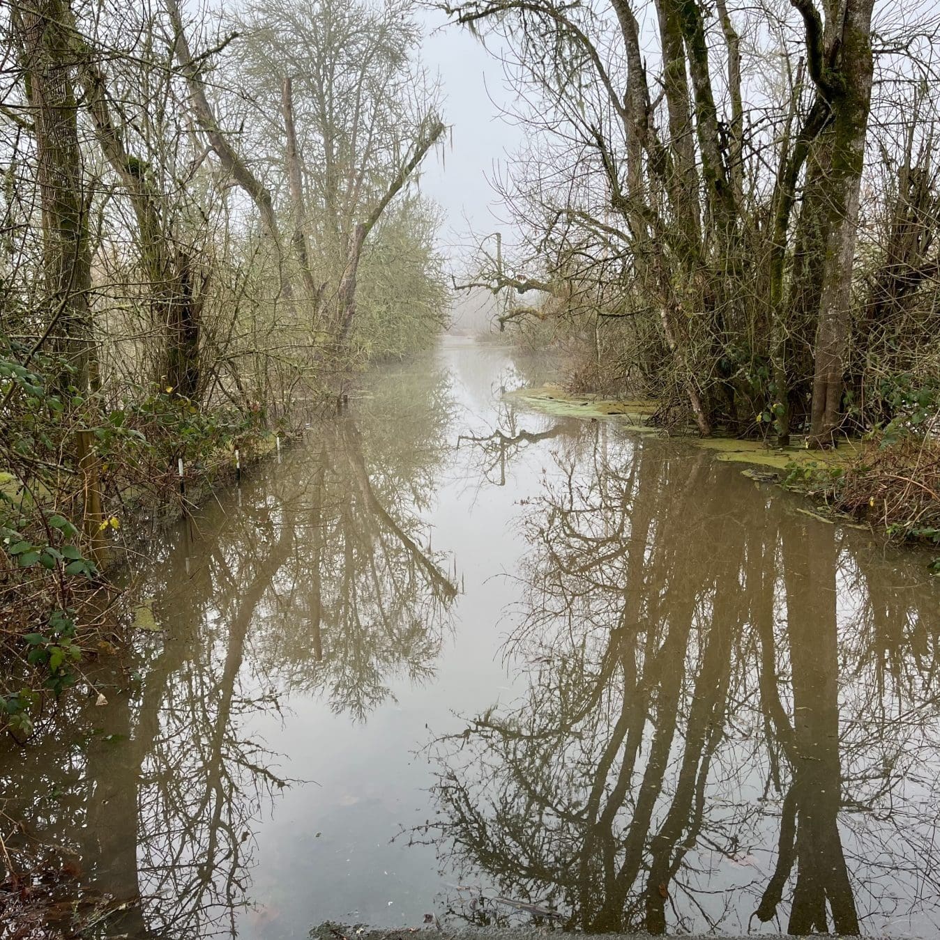
Approximately 70% of Truax Island is within the 2 year inundation zone of the Willamette River. This frequently flooded area fills first in Dead River, and then spills out onto the floodplain at several locations along the river and the slough.
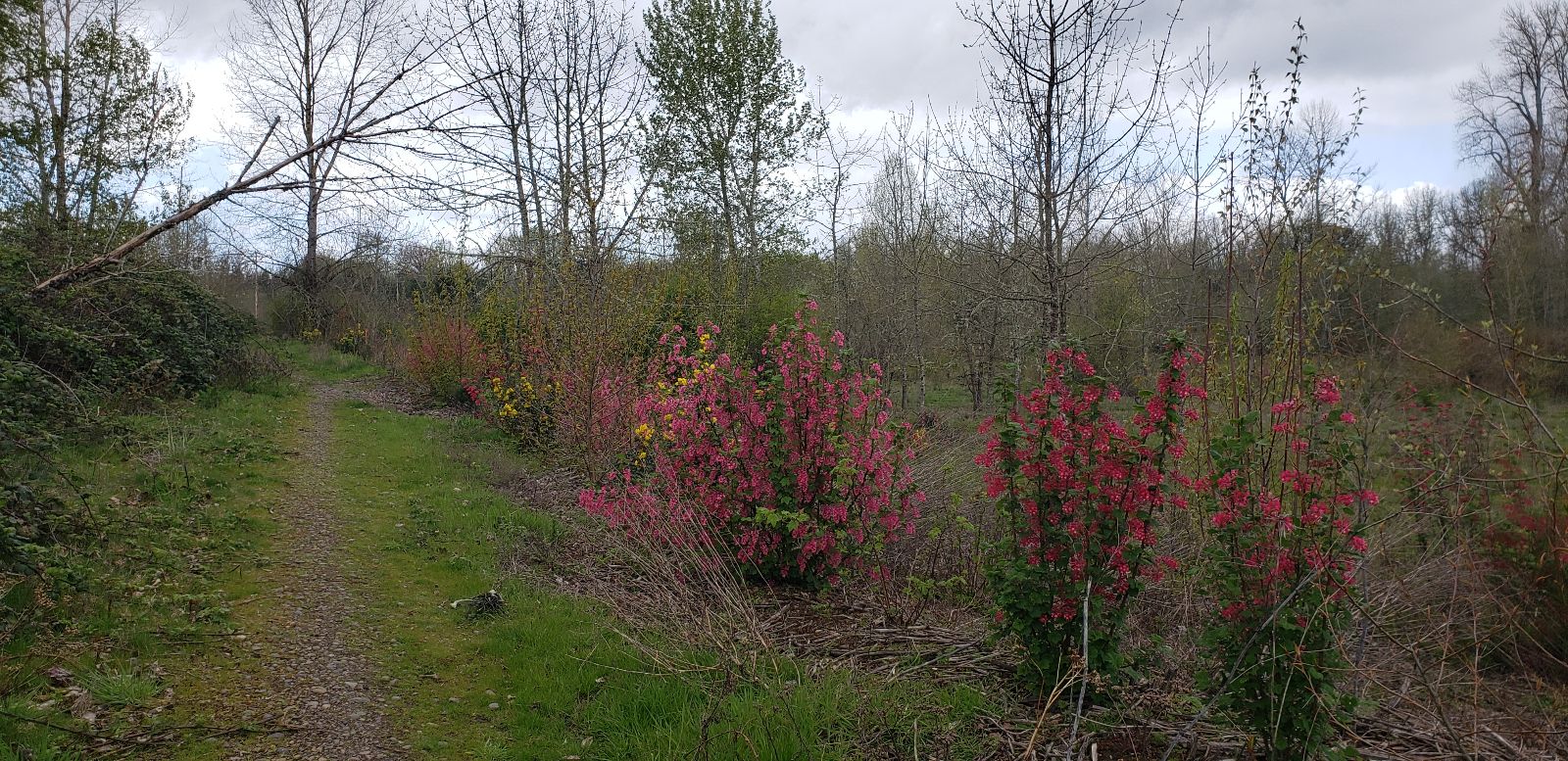
Much of the floodplain in the eastern portion of Truax Island is either a monoculture of invasive species, or there are spreading patches of invasive cover.
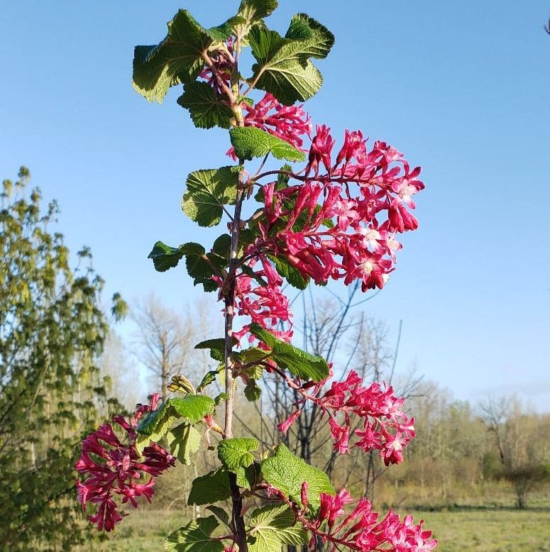
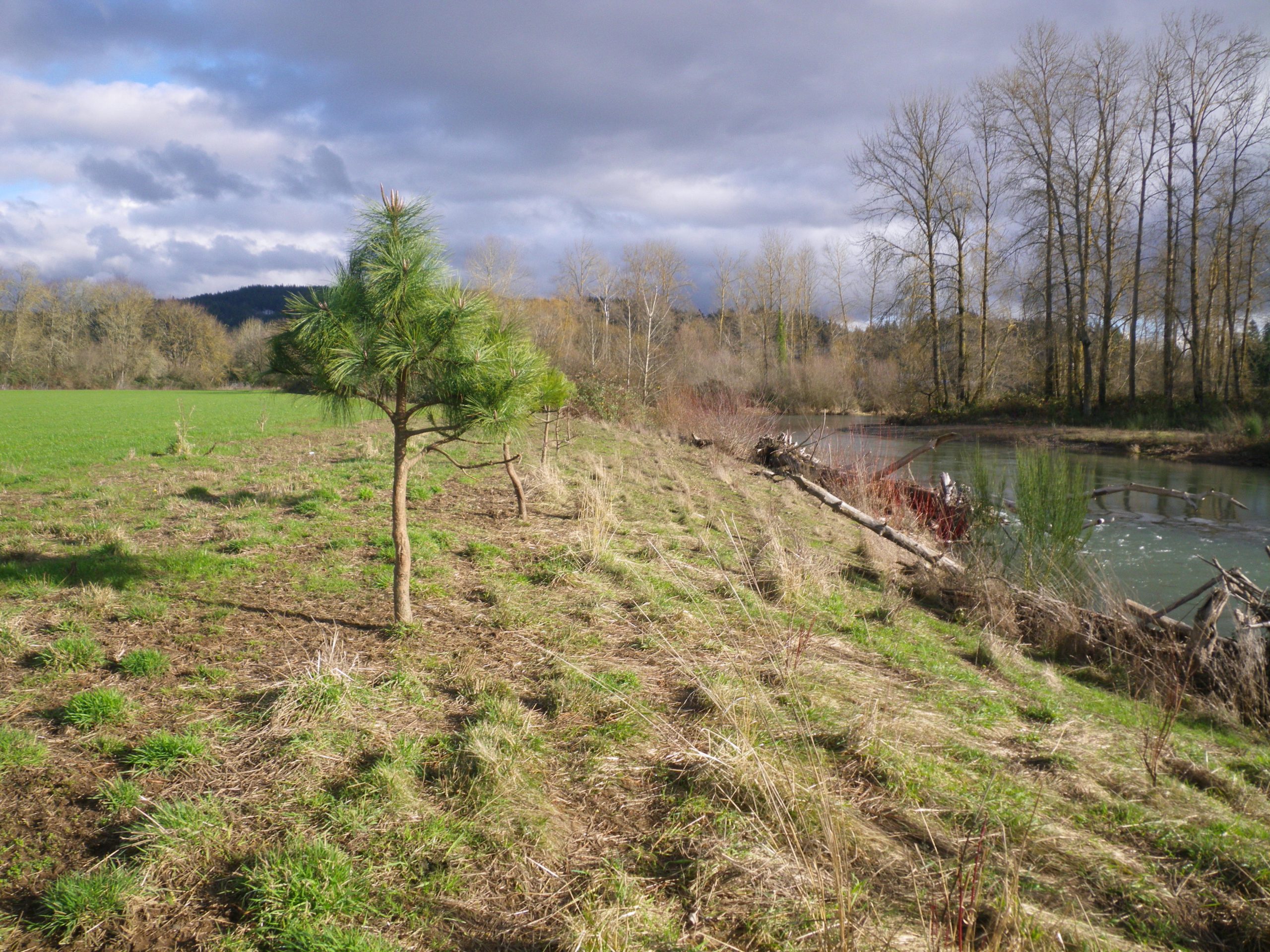
Within the vegetation management area there is also a remarkable eight acres of upland with mature white oaks, ponderosa pine and native ceanothus. The small stand of pine was planted by OPRD 20-30 years ago as an experiment and now needs to be thinned to support a more diverse understory.
One unique aspect of the Truax Island project is the presence of 8.7 acres of Willamette Valley Ponderosa pine (Pinus ponderosa var. willamettensis) and Oregon white oak (Quercus garryana) habitats.
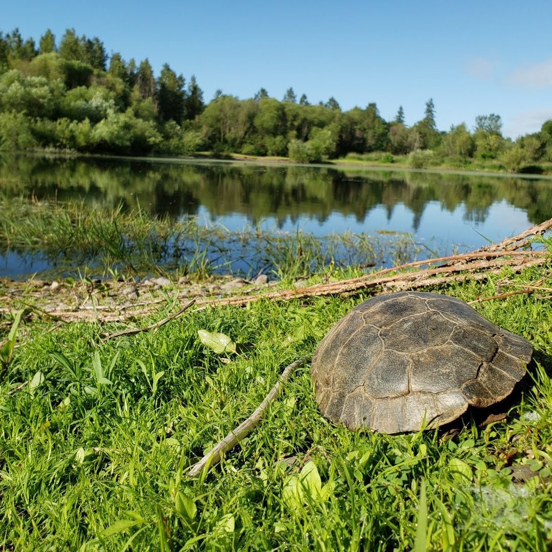
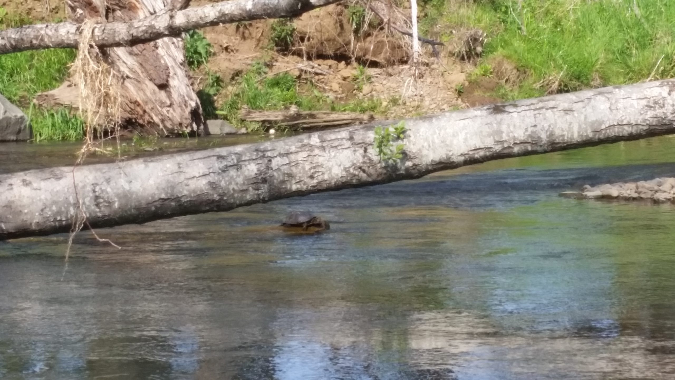
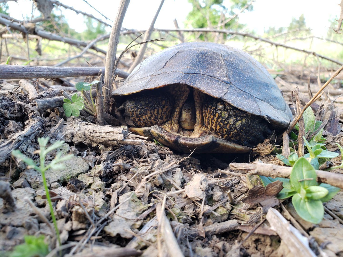
This upland, vegetation community is uncommon in such close proximity to the Willamette River floodplain and offers unique opportunities for upland species, including the Western pond turtle, bald eagle, willow flycatcher, and white-breasted
nuthatch.

Truax Island Access
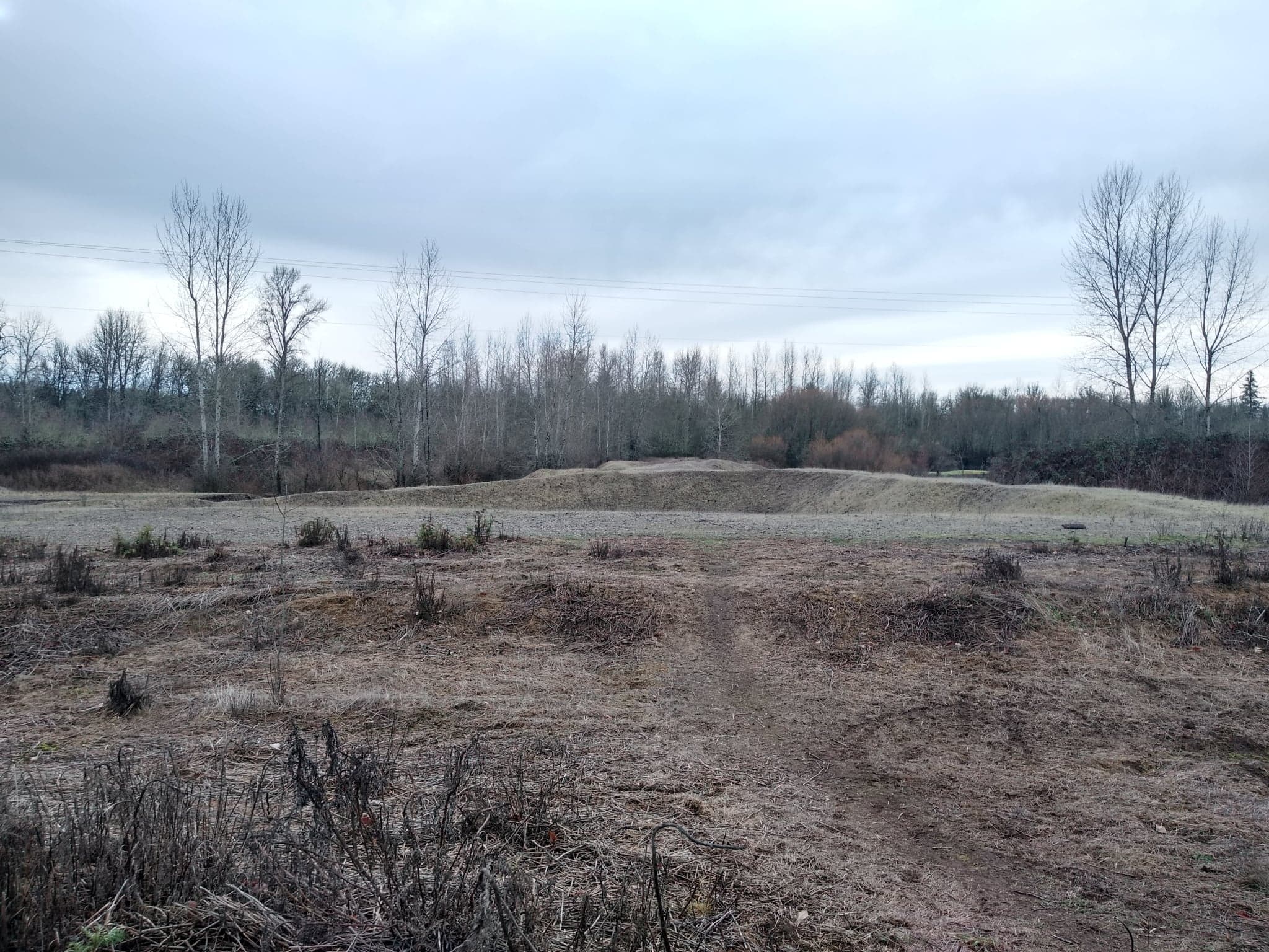
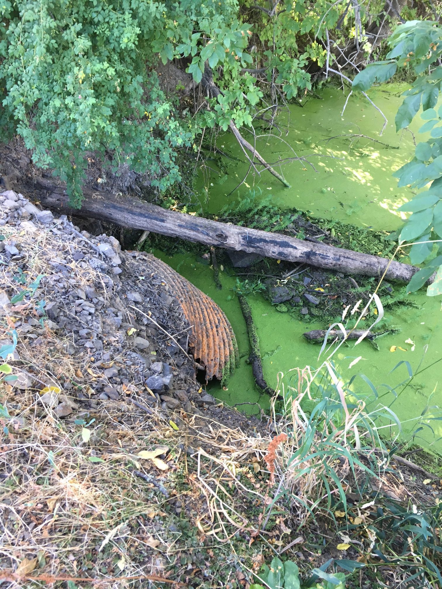
The only legal public access to Truax Island is owned by OPRD and crosses over Dead River. A 5ft diameter corrugated metal pipe (CMP) culvert on the east side of the Dead River crossing used to provide conveyance for Dead River flows prior to the road overtopping.
The culvert has collapsed on its upstream end, trapping debris, limiting its conveyance and effectiveness, and increasing its backwater effect on the crossing. This has resulted in a fish passage barrier.
Failing Culvert Impact
.1
The collapsed culvert restricts access to 1.95 miles of off channel rearing habitat in Dead River for DPS and ESU salmonids. OPRD has replaced the culvert several times, but it continues to fail about every 10 years because it has been too small to properly accommodate flows, and because flood waters move in and out over the crossing with such force it causes the road bed to erode and over time the exposed pipe is crushed.
.2
Dead River and the gravel pit have limited floodplain connectivity (about 7 days/year) and are flooded by back watering from the Willamette.
.3
Down stream flow, reduced by the failed culvert, is leading to build up of fine sediment and debris near the confluence.
.4
The failed and plugged culvert, on Dead River also acts like a small dam holding water upstream, potentially stranding fish (overtopped about 10 days/year) as well as likely causing water temperatures to rise in the summer, and supporting non-native warm-water fish.
objective
The primary watershed issue being addressed during the restoration of 27 acres of floodplain forest is the ecological degradation to the floodplain after it was deforested, cleared for agricultural use and eventually left fallow.
Once agricultural operations ended, the site was quickly colonized by invasive weeds, including Armenian blackberry (Rubus armeniacus), English hawthorn (Crataegus monogyna), common tansy (Tanacetum vulgare), and teasel (Dipsacus spp.).
These non-native, invasive plants degrade the quality of the floodplain for juvenile salmonids who seek these areas as refuge during floods and capitalize on the opportunity to forage on terrestrial insects. studies have concluded that native vegetation provides higher quality forage opportunities not just for salmonids but native birds and other wildlife.

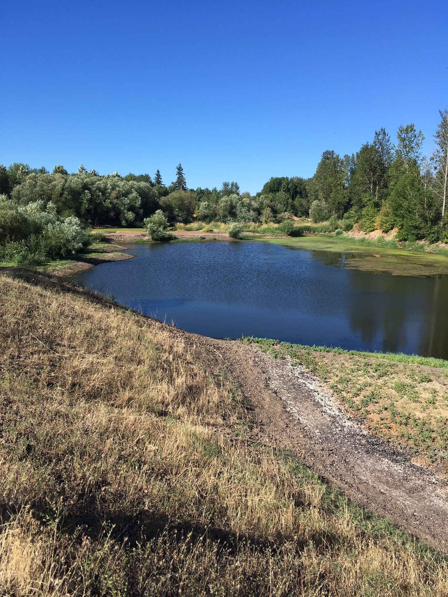
The gravel extraction permit, held by Knife River, is still open, but the company plans to complete the mining, perform reclamation and enhancement actions, in collaboration with the stakeholder team, and transfer ownership of the 26 acres. The pit holds water year round but is only connected to Dead River for a portion of the year via a very small shallow constructed channel which is dry during the summer months. The pond harbors warm water, non- native fish species, aquatic weeds and algae; an unfriendly environment for salmonids even when they can access the pit during high water.

implementation
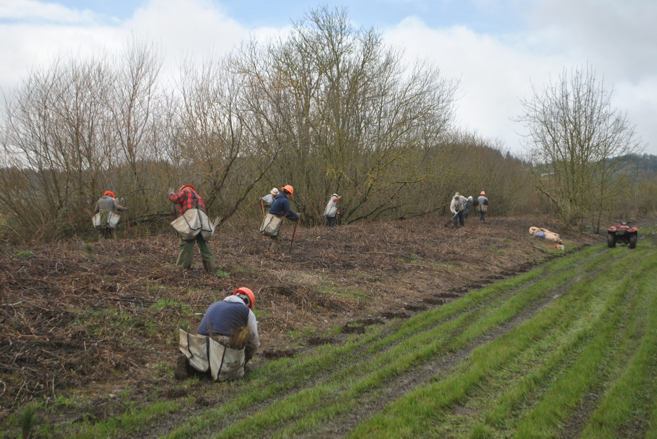
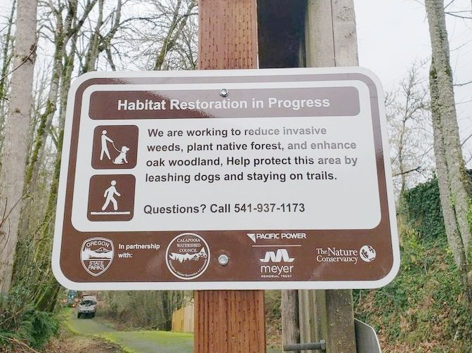
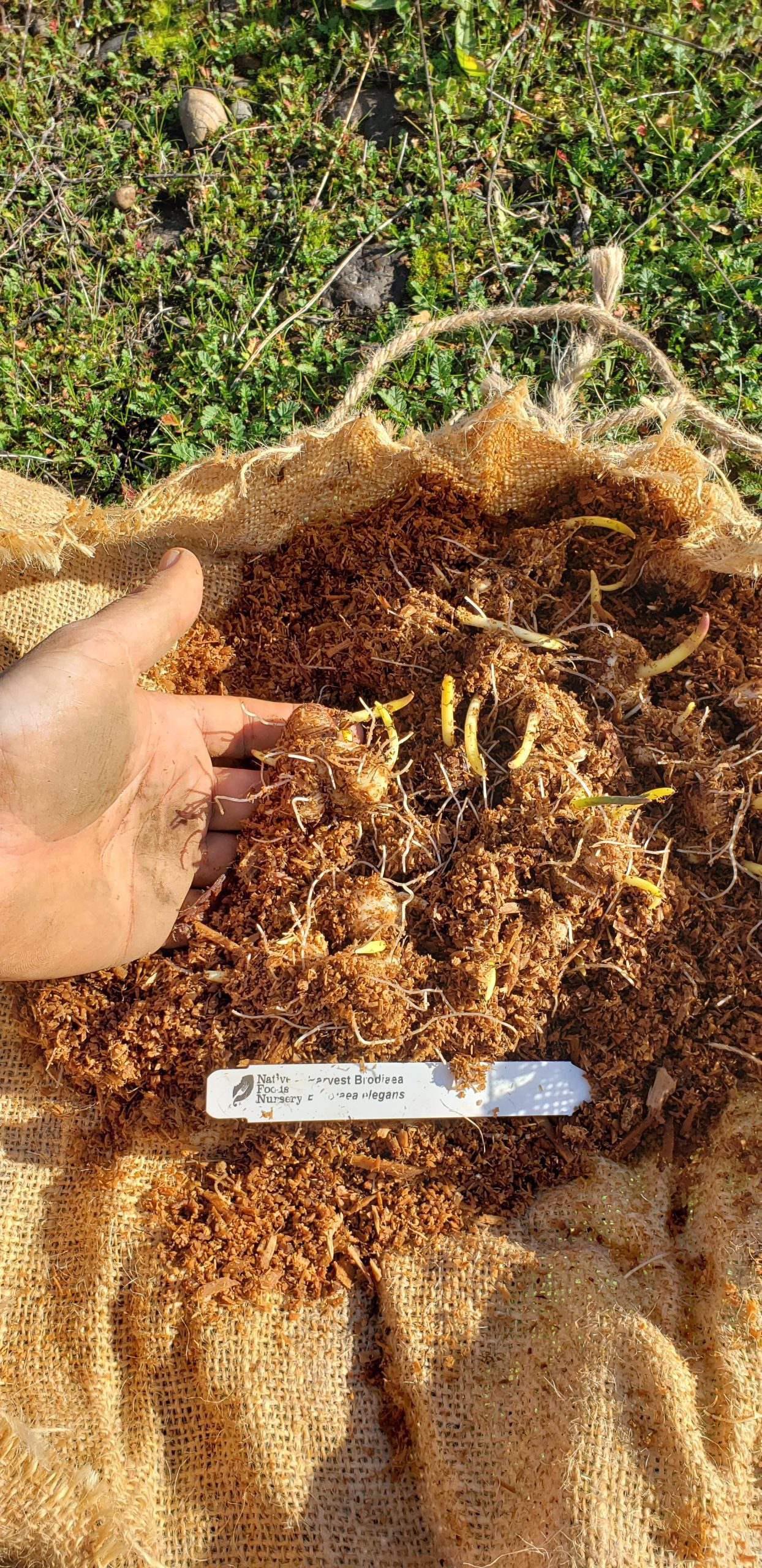
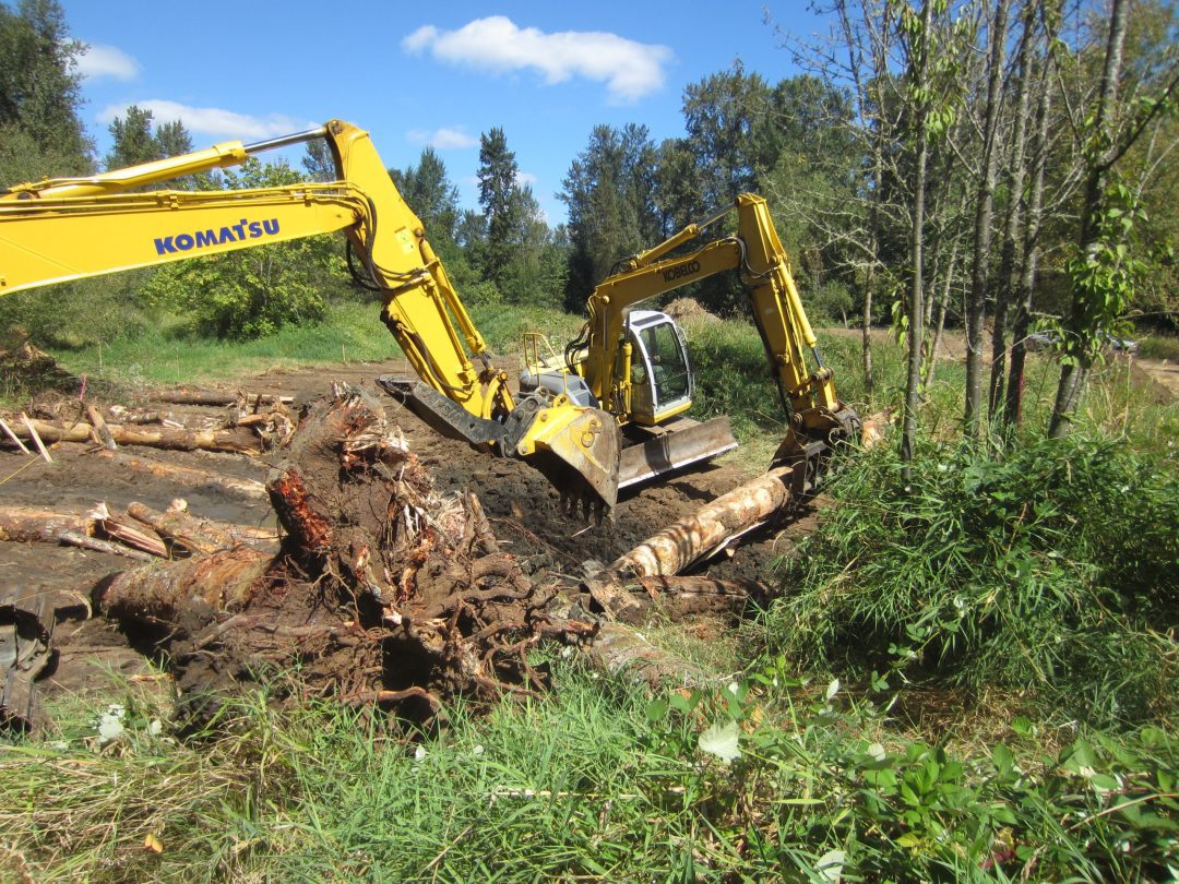
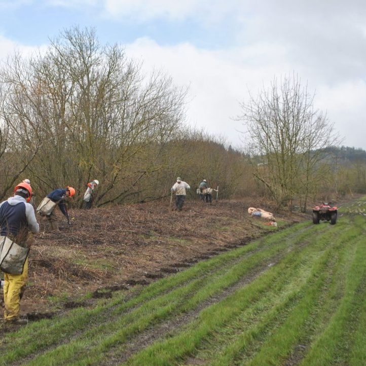
To restore this valuable floodplain habitat along the Willamette River, site preparation began in 2018. Work has consisted of manual and machine removal of blackberry thickets and other invasives with follow-up herbicide applications in the spring and fall.
In winter of 2020, the Calapooia Watershed Council and R. Franco Restoration installed 27,300 native trees and shrubs, and another 5,500 plants in the winter of 2021.
In 2024 we secured funding from NOAA to replace two of the crossings which constitute fish passage barriers, as well as at Murder Creek and the Central Floodplain within the Albany Oxbows Complex.
The Truax crossing has been fairly impassable for years, but our interventions aim to remedy that (in lower flows).
outcomes
Our long-term restoration efforts at Truax Island Greenway have included large-scale native plantings and maintenance, and now we are embarking on exciting new progress to address the fish passage barriers present at this public property.
Truax offers many outdoor classroom opportunities to understand the importance of adequate fish passage as well as drainage from the Truax site back into the Willamette.